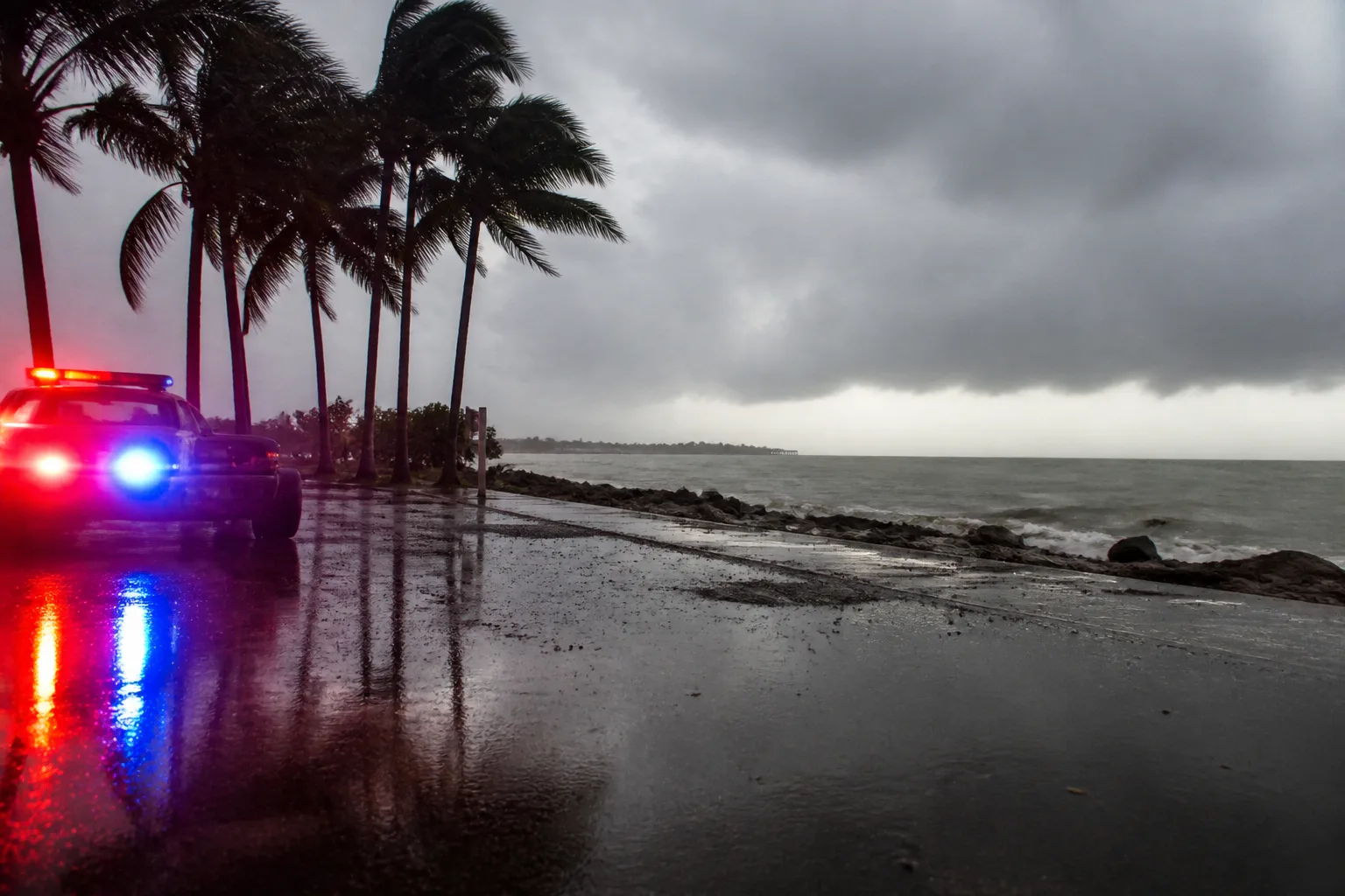
Southwest Florida Faces Low-End Risk of Heavy Rain Saturday, Local Forecasts Warn of Possible Flooding
When the sun’s heat hits 90 °F on a Saturday in Southwest Florida, the sky isn’t going to roll out a steady curtain of rain—at least not yet. Instead, meteorologists at the WINK News Weather Authority are sounding a mild warning: a handful of slow‑moving storms could dump a surprising amount of water on a few pockets of the region, sparking localized flooding.
The forecast kicks off with a modest chance of showers and storms in the morning. By midday, about 40 % of the area could see scattered precipitation. As the day wears on, the rain front is expected to drift eastward toward inland communities, leaving the coast comparatively drier. Temperature-wise, high readings should hover near 90 °F, keeping the heat index comfortably in the lower 90s.
Sunday brings a slightly lower chance of rain. A few showers might touch the coast in the early hours, with coverage rising to roughly 20 % by late morning. By midday, scattered showers could cover about 50 % of the region, though the heaviest patches will shift east of Interstate 75. Even with the reduced threat, a few isolated showers are likely along the shoreline all day. Highs will peak in the lower 90s, mirroring Saturday’s heat.
The WINK Weather Authority bases its outlook on rising moisture levels and a shifting wind pattern that could elevate rainfall probabilities as the week progresses. Residents are urged to stay tuned to WINK News and the WINK Weather App for any updates.
Southwest Florida—encompassing Lee, Collier, Charlotte, Manatee, Sarasota, and parts of DeSoto, Glades, and Hendry—boasts a subtropical climate and a coastline that makes it especially sensitive to sudden rain surges. Local officials and residents keep a close eye on weather trends because even a short burst of heavy rain can overwhelm drainage systems and trigger flash flooding.
The WINK News Weather Authority is part of WINK‑TV, a CBS and MyNetworkTV affiliate based in Fort Myers. Their meteorologists deliver daily forecasts and timely alerts to the Southwest Florida community.
While the current assessment flags only a low‑end risk of excessive rainfall, the WINK Weather Authority cautions that a few sluggish storms could still produce significant localized flooding. Those living in low‑lying or historically flood‑prone areas should monitor the latest developments and be prepared.
Other agencies, including the National Weather Service, are also tracking moisture and wind shifts that could increase rain chances in the coming days. WINK’s meteorologists advise residents to keep informed through reliable local sources.
In short, Southwest Florida should brace for scattered showers and storms on Saturday and Sunday, with temperatures staying high. The threat of heavy rain remains low, but localized flooding is still a possibility. Residents are encouraged to keep an eye on the latest forecasts via WINK News and the WINK Weather App.